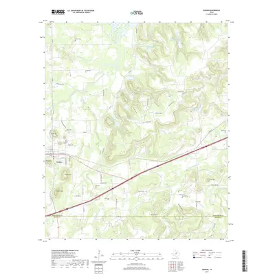
2019 Map of Gordon
USGS Topo · Published 2019About this map
Gordon and the surrounding Palo Pinto County landscape are defined by a series of prominent peaks and the winding course of Palo Pinto Creek. This area, just north of the Erath County line, is a significant site for family history researchers due to the high density of rural burial grounds. Genealogists can trace lineages through the Old Gordon Cem, New Gordon Cem, and Gibson Cem, while more remote sites like the Doty Cem and Brierton Cem reflect the scattered nature of early Texas ranching settlements. The terrain is marked by distinct elevations such as Mitchell Mtn and Warters Mtn, providing natural landmarks for the community of Blue Flat. Water resources, essential for the local economy, are well-documented through features like Johnson Lake, Watson Lake, and the Panama Cr Reservoir, illustrating how residents have managed the arid environment over decades.
Find a feature on this map
85 named features on this map. Tap any name to fly to it.
Don’t see what you’re looking for? This feature index may not catch every label — zoom into the map to look around manually.
Map Details
Editions of this 2019 Gordon Map
This is the sole edition of this map. No revisions or reprints were ever made.
Other maps of this area
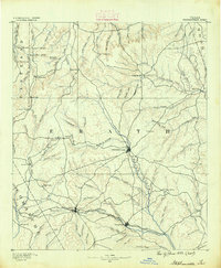
1890 · Stephenville
USGS Topo · 1:125,000
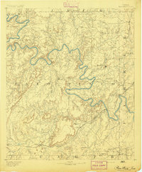
1891 · Palo Pinto
USGS Topo · 1:125,000
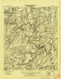
1918 · Palo Pinto
USGS Topo · 1:125,000
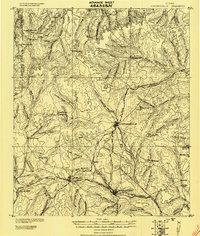
1920 · Stephenville
USGS Topo · 1:125,000
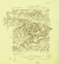
1925 · Palo Pinto 4-b
USGS Topo · 1:48,000
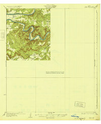
1931 · Santo
USGS Topo · 1:62,500
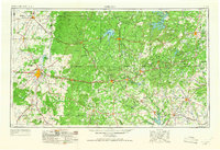
1954 · Abilene
USGS Topo · 1:250,000
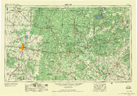
1958 · Abilene
USGS Topo · 1:250,000
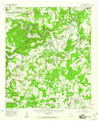
1959 · Lipan
USGS Topo · 1:62,500
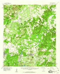
1959 · Gordon
USGS Topo · 1:62,500