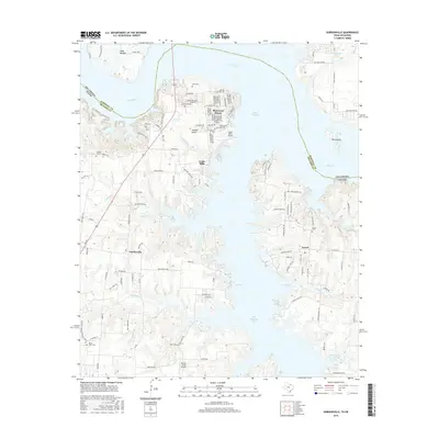
2016 Map of Gordonville
USGS Topo · Published 2016About this map
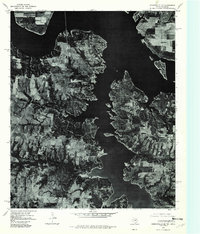
Sherwood Shores and Gordonville sit along the complex southern coastline of Lake Texoma in this 2016 survey. The landscape is defined by the reservoir's fingers, including Big Mineral Arm and Paradise Cove, which have dramatically reshaped the terrain of northern Grayson County. Long-standing local history is preserved through numerous family and community burial sites such as Noel Cem, Johnson Cem, and Mount Tabor Cem. The map illustrates a mix of residential growth in the lakeside peninsulas and the preservation of rural landmarks like Cedar Mills, where a small airport now serves the recreational community. Small watercourses like Walnut Cr and N Br Brushy Cr flow toward the lake, marking the original drainage patterns of the Red River valley before the era of major dam construction. Local transportation is anchored by the winding paths of Locust Rd and Denton Rd, connecting small settlements like Locust to the shoreline.
Find a feature on this map
130 named features on this map. Tap any name to fly to it.
Don’t see what you’re looking for? This feature index may not catch every label — zoom into the map to look around manually.
Map Details
Editions of this 2016 Gordonville Map
This is the sole edition of this map. No revisions or reprints were ever made.
Other maps of this area
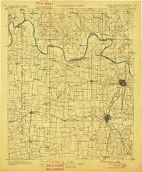
1901 · Denison
USGS Topo · 1:125,000

1954 · Sherman
USGS Topo · 1:250,000
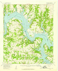
1958 · Gordonville
USGS Topo · 1:62,500
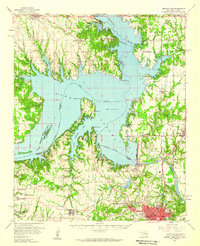
1958 · Denison Dam
USGS Topo · 1:62,500
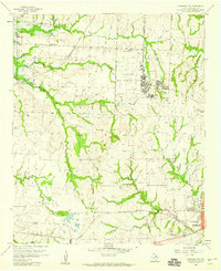
1958 · Sherman NW
USGS Topo · 1:24,000
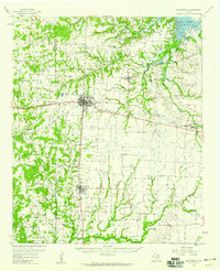
1958 · Whitesboro
USGS Topo · 1:62,500

1958 · Sherman
USGS Topo · 1:250,000
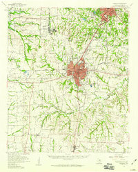
1958 · Sherman
USGS Topo · 1:62,500
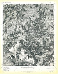
1976 · Gordonville NE
USGS Topo · 1:24,000
1976 · Gordonville SE
USGS Topo · 1:24,000