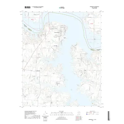
2019 Map of Gordonville
USGS Topo · Published 2019About this map
Lake Texoma dominates this landscape along the border of Texas and Oklahoma, where the waters of the Big Mineral Arm meet the complex shorelines of Grayson and Marshall Counties. The settlement pattern here is defined by waterfront communities and recreational access points, notably Sherwood Shores with its dense network of residential streets like Nottingham Dr and Maid Marian Dr. Further south, the map documents the established community of Gordonville and the landing at Cedar Mills, where the local economy transitions from lakeside residential areas to aviation at the Cedar Mills Airport.
Find a feature on this map
120 named features on this map. Tap any name to fly to it.
Don’t see what you’re looking for? This feature index may not catch every label — zoom into the map to look around manually.
Map Details
Editions of this 2019 Gordonville Map
This is the sole edition of this map. No revisions or reprints were ever made.
Other maps of this area
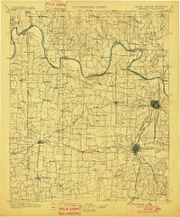
1901 · Denison
USGS Topo · 1:125,000

1954 · Sherman
USGS Topo · 1:250,000
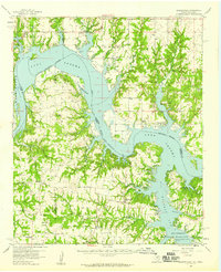
1958 · Gordonville
USGS Topo · 1:62,500
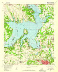
1958 · Denison Dam
USGS Topo · 1:62,500
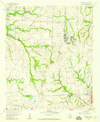
1958 · Sherman NW
USGS Topo · 1:24,000
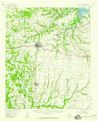
1958 · Whitesboro
USGS Topo · 1:62,500

1958 · Sherman
USGS Topo · 1:250,000
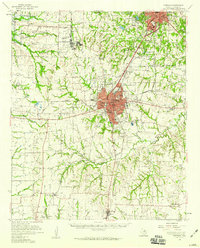
1958 · Sherman
USGS Topo · 1:62,500
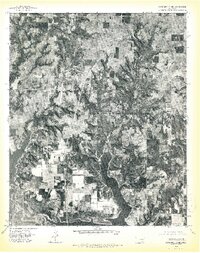
1976 · Gordonville NE
USGS Topo · 1:24,000
1976 · Gordonville SE
USGS Topo · 1:24,000