
2022 Map of Gordonville
USGS Topo · Published 2022About this map
Lake Texoma and the Red River define the northern border of Grayson County in this contemporary look at the Oklahoma-Texas state line. The map illustrates a landscape of deeply indented shorelines and inlets, most notably the Big Mineral Arm and Paradise Cove. Residential developments and recreational areas are clustered near the water, including Sherwood Shores, Juniper Point, and the Cedar Mills Airport, reflecting the area's modern identity as a lakeside destination.
Find a feature on this map
132 named features on this map. Tap any name to fly to it.
Don’t see what you’re looking for? This feature index may not catch every label — zoom into the map to look around manually.
Map Details
Editions of this 2022 Gordonville Map
This is the sole edition of this map. No revisions or reprints were ever made.
Other maps of this area

1901 · Denison
USGS Topo · 1:125,000

1954 · Sherman
USGS Topo · 1:250,000

1958 · Gordonville
USGS Topo · 1:62,500

1958 · Denison Dam
USGS Topo · 1:62,500

1958 · Sherman NW
USGS Topo · 1:24,000

1958 · Whitesboro
USGS Topo · 1:62,500

1958 · Sherman
USGS Topo · 1:250,000

1958 · Sherman
USGS Topo · 1:62,500
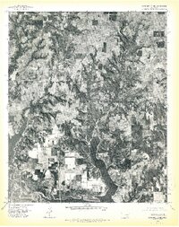
1976 · Gordonville NE
USGS Topo · 1:24,000
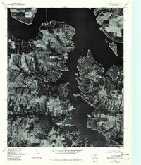
1976 · Gordonville SE
USGS Topo · 1:24,000