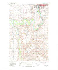
1955 Map of Gore Hill
USGS Topo · Published 1957About this map
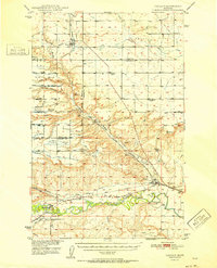
The confluence of the Sun River and the Missouri River anchors this mid-century view of the developing landscape near Great Falls. The terrain is defined by dramatic plateaus like the Sun River Bench and Truly Bench, punctuated by numerous coulees such as Ming Coulee and Splain Coulee. In the north, the urban fringe is marked by the Municipal Airport and the Air Nat Guard station on Gore Hill, while the nearby industrial footprint includes several Gravel Pits and a Quarry along the Great Northern rail line.
Find a feature on this map
56 named features on this map. Tap any name to fly to it.
Don’t see what you’re looking for? This feature index may not catch every label — zoom into the map to look around manually.
Map Details
Editions of this 1955 Gore Hill Map
This is the sole edition of this map. No revisions or reprints were ever made.
Other maps of this area

1886 · Great Falls
USGS Topo · 1:250,000
1948 · Portage
USGS Topo · 1:62,500
1949 · Portage
USGS Topo · 1:62,500
1949 · Cascade
USGS Topo · 1:62,500
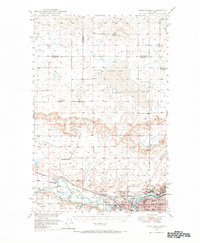
1949 · Great Falls
USGS Topo · 1:62,500
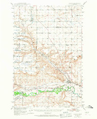
1949 · Vaughn
USGS Topo · 1:62,500
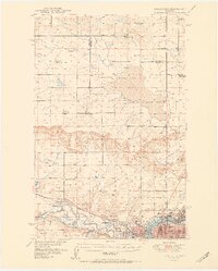
1951 · Great Falls
USGS Topo · 1:62,500
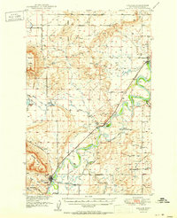
1951 · Cascade
USGS Topo · 1:62,500
1952 · Vaughn
USGS Topo · 1:62,500
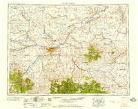
1954 · Great Falls
USGS Topo · 1:250,000