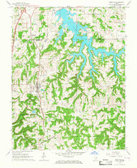
1966 Map of Goreville
USGS Topo · Published 1967About this map
Lake of Egypt dominates the northern half of this landscape, its sprawling shoreline created by the impoundment of Saline Creek and Clifty Creek. The presence of a Powerplant on the western shore highlights the mid-century industrial development of the region, while the jagged fingers of the lake reach toward older local landmarks like McKinney Chapel and McBride Cem. To the south, the terrain transitions into the steep elevations of Tunnel Hill, a ridge that defined historical travel and rail routes.
Find a feature on this map
44 named features on this map. Tap any name to fly to it.
Don’t see what you’re looking for? This feature index may not catch every label — zoom into the map to look around manually.
Map Details
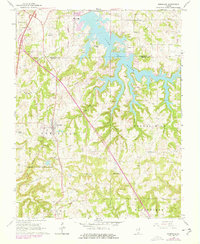
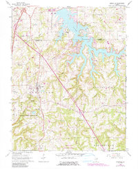
Editions of this 1966 Goreville Map
3 editions found
Other maps of this area

1918 · Vienna
USGS Topo · 1:62,500

1919 · Vienna
USGS Topo · 1:62,500

1920 · Dongola
USGS Topo · 1:62,500

1922 · Carbondale
USGS Topo · 1:62,500

1923 · Dongola
USGS Topo · 1:62,500

1925 · Marion
USGS Topo · 1:62,500

1940 · Marion
USGS Topo · 1:62,500

1941 · Carbondale
USGS Topo · 1:62,500

1942 · Vienna
USGS Topo · 1:62,500

1949 · Paducah
USGS Topo · 1:250,000