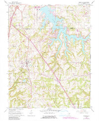
1966 Map of Goreville
USGS Topo · Published 1990About this map
Lake of Egypt dominates the northern reaches of this mid-1960s landscape, providing a massive reservoir for the nearby Powerplant. This southern Illinois region shows a transition from the agricultural plateaus around Goreville to the deeply dissected terrain of the Tunnel Hill area. The presence of numerous small cemeteries such as Springer Cem, McBride Cem, and Gibson Cem indicates a long-standing rural settlement pattern established well before the reservoir's creation.
Find a feature on this map
56 named features on this map. Tap any name to fly to it.
Don’t see what you’re looking for? This feature index may not catch every label — zoom into the map to look around manually.
Map Details
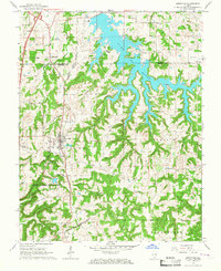
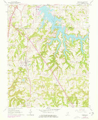
Editions of this 1966 Goreville Map
3 editions found
Other maps of this area

1918 · Vienna
USGS Topo · 1:62,500

1919 · Vienna
USGS Topo · 1:62,500

1920 · Dongola
USGS Topo · 1:62,500

1922 · Carbondale
USGS Topo · 1:62,500

1923 · Dongola
USGS Topo · 1:62,500

1925 · Marion
USGS Topo · 1:62,500

1940 · Marion
USGS Topo · 1:62,500

1941 · Carbondale
USGS Topo · 1:62,500

1942 · Vienna
USGS Topo · 1:62,500

1949 · Paducah
USGS Topo · 1:250,000