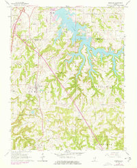
1966 Map of Goreville
USGS Topo · Published 1978About this map
Lake of Egypt dominates the northern reaches of this landscape, its irregular fingers reaching into the hilly border between Williamson and Johnson Counties. A shoreline network of rural cemeteries, including Kimmel Cem and McBride Cem, speaks to the family histories of the area before the waters were managed for the nearby Powerplant. The village of Goreville serves as a central hub, where the Missouri Pacific railroad cuts through the terrain near the sprawling boundaries of Ferne Clyffe State Park.
Find a feature on this map
49 named features on this map. Tap any name to fly to it.
Don’t see what you’re looking for? This feature index may not catch every label — zoom into the map to look around manually.
Map Details
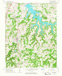
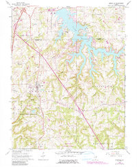
Editions of this 1966 Goreville Map
3 editions found
Other maps of this area

1918 · Vienna
USGS Topo · 1:62,500

1919 · Vienna
USGS Topo · 1:62,500

1920 · Dongola
USGS Topo · 1:62,500

1922 · Carbondale
USGS Topo · 1:62,500

1923 · Dongola
USGS Topo · 1:62,500

1925 · Marion
USGS Topo · 1:62,500

1940 · Marion
USGS Topo · 1:62,500

1941 · Carbondale
USGS Topo · 1:62,500

1942 · Vienna
USGS Topo · 1:62,500

1949 · Paducah
USGS Topo · 1:250,000