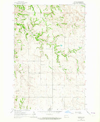
1963 Map of Gorham
USGS Topo · Published 1964About this map
Gorham serves as the focal point of this western North Dakota landscape in Billings County, where the high plains meet a network of creek drainages. The map illustrates a community structure anchored by small rural institutions, including the St Josephat Ch and the St Jacobs Cem. The distribution of scattered schoolhouses like Whitetail Sch No 12, Pioneer Sch No 3, and Gorham Sch No 4 reflects a classic mid-century settlement pattern where localized education was essential for the surrounding homesteads.
Find a feature on this map
11 named features on this map. Tap any name to fly to it.
Don’t see what you’re looking for? This feature index may not catch every label — zoom into the map to look around manually.
Map Details
Editions of this 1963 Gorham Map
This is the sole edition of this map. No revisions or reprints were ever made.
Other maps of this area
1953 · Watford City
USGS Topo · 1:250,000
1957 · Watford City
USGS Topo · 1:250,000
1963 · Gorham SW
USGS Topo · 1:24,000
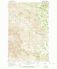
1963 · Gorham NW
USGS Topo · 1:24,000
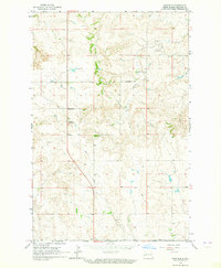
1963 · Fairfield
USGS Topo · 1:24,000
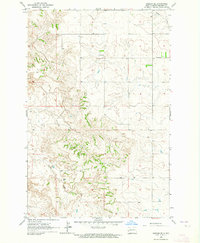
1963 · Gorham SE
USGS Topo · 1:24,000
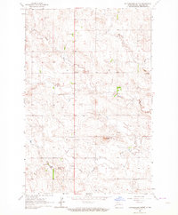
1963 · Rattlesnake Butte
USGS Topo · 1:24,000
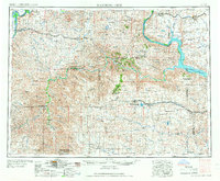
1967 · Watford City
USGS Topo · 1:250,000
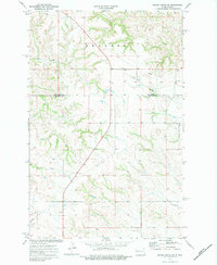
1974 · Grassy Butte SW
USGS Topo · 1:24,000
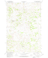
1974 · Squaretop Butte
USGS Topo · 1:24,000