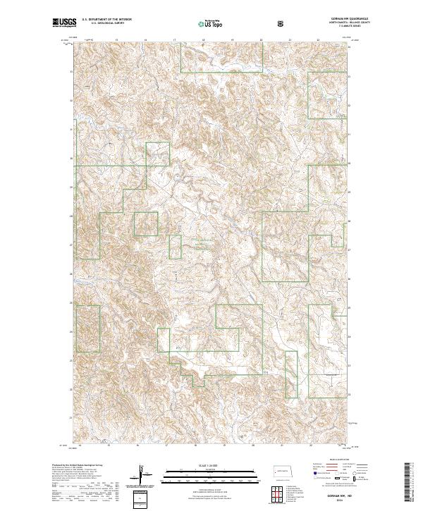
2024 Map of Gorham NW
USGS Topo · Published 2024About this map
Little Missouri National Grassland dominates this section of Billings County, preserving a complex landscape of drainage basins and high plains. The terrain is defined by the systems of Whitetail Creek in the north and the meandering path of Blacktail Creek through the central and southern portions of the quadrangle. These watercourses have carved intricate relief into the prairie, creating the distinct badlands topography characteristic of this region. Human presence is marked by a sparse network of section-line roads and interior routes like Blacktail Rd and 16th St SW, which provide access to the remote grassland parcels. This survey illustrates the modern intersection of public land management and the historic Public Land Survey System, showing how township and range lines continue to organize the remote North Dakota interior.
Find a feature on this map
12 named features on this map. Tap any name to fly to it.
Don’t see what you’re looking for? This feature index may not catch every label — zoom into the map to look around manually.
Map Details
Editions of this 2024 Gorham NW Map
This is the sole edition of this map. No revisions or reprints were ever made.
Other maps of this area

1953 · Watford City
USGS Topo · 1:250,000

1957 · Watford City
USGS Topo · 1:250,000

1963 · Gorham SW
USGS Topo · 1:24,000

1963 · Gorham NW
USGS Topo · 1:24,000

1963 · Gorham SE
USGS Topo · 1:24,000

1963 · Gorham
USGS Topo · 1:24,000

1967 · Watford City
USGS Topo · 1:250,000

1970 · Hanks Gully
USGS Topo · 1:24,000

1970 · Wannagan Creek East
USGS Topo · 1:24,000

1970 · Roosevelt Creek East
USGS Topo · 1:24,000