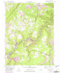
1949 Map of Gorman
USGS Topo · Published 1982About this map
Gormania and the neighboring settlement of Gorman occupy a narrow valley floor where the North Branch Potomac River forms the state boundary. This post-war landscape is defined by the high ridge of Backbone Mountain and the deep industrial infrastructure of the Western Maryland railroad, which follows the river's winding course. The map documents a significant intersection of transport and history, featuring the George Washington Highway and the site of Fort Pendleton, a strategic overlook during the Civil War era.
Find a feature on this map
44 named features on this map. Tap any name to fly to it.
Don’t see what you’re looking for? This feature index may not catch every label — zoom into the map to look around manually.
Map Details
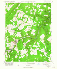
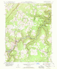
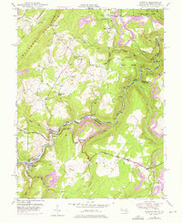
Editions of this 1949 Gorman Map
4 editions found
Other maps of this area

1895 · Piedmont
USGS Topo · 1:125,000

1899 · Oakland
USGS Topo · 1:62,500

1900 · Oakland
USGS Topo · 1:62,500

1916 · Davis
USGS Topo · 1:48,000

1918 · Davis
USGS Topo · 1:62,500

1919 · Elk Garden
USGS Topo · 1:48,000

1919 · Davis
USGS Topo · 1:62,500

1920 · Elk Garden
USGS Topo · 1:48,000

1920 · Davis
USGS Topo · 1:48,000

1921 · Greenland Gap
USGS Topo · 1:62,500