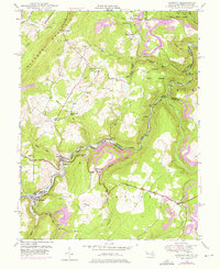
1949 Map of Gorman
USGS Topo · Published 1976About this map
The North Branch Potomac River defines the winding border between Maryland and West Virginia, anchoring a landscape of mountain ridges and riverside industry. Along this corridor, the Western Maryland railroad follows the water's edge, connecting the coal-era settlements of Gorman, Gormania, and Bayard. The topography is dominated by the steep slopes of The Little Backbone Mountain and Elk Garden Mountain, which hem in the narrow river valley. Family history is etched into the terrain through numerous small burial grounds, including the Harvey-Wilson Cem and Chisholm-Nydegger Cemetery. Further upland, the George Washington Highway traverses the plateau, passing rural hubs like Tasker Corners and Bethlehem Ch. The presence of a Strip Mine and an extensive Pipeline near Difficult Hill reflects the region's mid-century reliance on natural resource extraction and energy transport.
Find a feature on this map
42 named features on this map. Tap any name to fly to it.
Don’t see what you’re looking for? This feature index may not catch every label — zoom into the map to look around manually.
Map Details
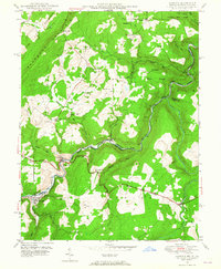
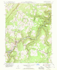
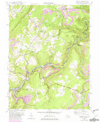
Editions of this 1949 Gorman Map
4 editions found
Other maps of this area

1895 · Piedmont
USGS Topo · 1:125,000

1899 · Oakland
USGS Topo · 1:62,500

1900 · Oakland
USGS Topo · 1:62,500

1916 · Davis
USGS Topo · 1:48,000

1918 · Davis
USGS Topo · 1:62,500

1919 · Elk Garden
USGS Topo · 1:48,000

1919 · Davis
USGS Topo · 1:62,500

1920 · Elk Garden
USGS Topo · 1:48,000

1920 · Davis
USGS Topo · 1:48,000

1921 · Greenland Gap
USGS Topo · 1:62,500