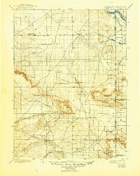
1899 Map of Goshen Hole
USGS Topo · Published 1946About this map
Goshen Hole defines this expansive landscape in the final years of the nineteenth century, serving as a hub for early ranching and water management across the Wyoming-Nebraska border. The topography is anchored by the North Platte River in the northeast, where the Mitchell Canal and Lawrence Canal signal the era's emerging irrigation infrastructure. A network of family-named ranching outposts like Greasewood Ranch, Yoder's Ranch, and Marshalls Ranch are scattered throughout the territory, joined by small settlements such as La Grange, Meriden, and Flowerfield.
Find a feature on this map
59 named features on this map. Tap any name to fly to it.
Don’t see what you’re looking for? This feature index may not catch every label — zoom into the map to look around manually.
Map Details
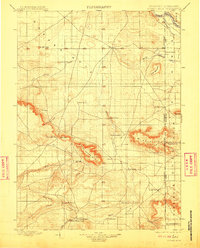
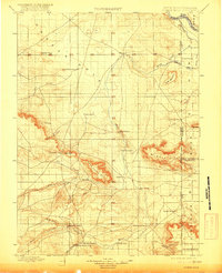
Editions of this 1899 Goshen Hole Map
4 editions found
Other maps of this area

1896 · Patrick
USGS Topo · 1:125,000

1896 · Hartville
USGS Topo · 1:125,000

1898 · Scotts Bluff
USGS Topo · 1:125,000

1899 · Goshen Hole
USGS Topo · 1:125,000

1899 · Whistle Creek
USGS Topo · 1:125,000

1901 · Hartville
USGS Topo · 1:125,000

1911 · Cheyenne
USGS Topo · 1:125,000

1914 · Cheyenne
USGS Topo · 1:125,000

1950 · Rockeagle
USGS Topo · 1:24,000

1954 · Scottsbluff
USGS Topo · 1:250,000