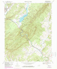
1967 Map of Goshen
USGS Topo · Published 1985About this map
Lake Merriweather serves as a central landmark for this portion of the valley, surrounded by numerous scouting outposts including Camp Ross, Camp Marriott, and Camp Bowman. The Maury River carves a dramatic path through the Goshen Pass, where the Maury Monument stands near the rocky riverside terrain of Devils Kitchen. This 1967 survey, updated with purple revisions in 1983, reflects a landscape deeply tied to both recreation and historical transit.
Find a feature on this map
77 named features on this map. Tap any name to fly to it.
Don’t see what you’re looking for? This feature index may not catch every label — zoom into the map to look around manually.
Map Details
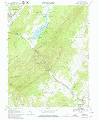
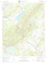
Editions of this 1967 Goshen Map
Other maps of this area

1894 · Staunton
USGS Topo · 1:125,000

1894 · Natural Bridge
USGS Topo · 1:125,000

1894 · Lexington
USGS Topo · 1:125,000

1901 · Monterey
USGS Topo · 1:125,000

1932 · Lexington
USGS Topo · 1:48,000

1937 · Lexington
USGS Topo · 1:62,500

1943 · Craigsville
USGS Topo · 1:62,500

1945 · Craigsville
USGS Topo · 1:62,500

1946 · Millboro
USGS Topo · 1:62,500

1946 · Williamsville
USGS Topo · 1:62,500