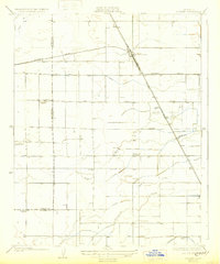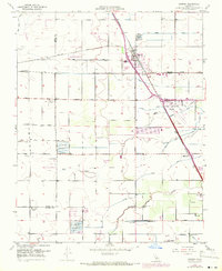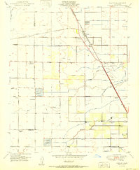
1950 Map of Goshen
USGS Topo · Published 1950About this map
The Southern Pacific railroad corridor serves as the spine of this agricultural landscape, where the settlement of Goshen sits at a critical rail junction. The map illustrates a highly managed water system essential for San Joaquin Valley farming, featuring the Tulare Irrigation Canal and a complex network of ditches including the Persian Ditch, Evans Ditch, and Modoc Ditch. These waterways support numerous family-named operations and labor camps, such as the Colpien Ranch and Overland Ranch, alongside a numbered series of workers' settlements like Camp One and Camp Six. This 1950s layout reveals the intense rural density of the era, marked by a high concentration of local schoolhouses like the Tagus Ranch School and Manzanillo School that served these distributed farming communities before district consolidation. The presence of the Visalia Municipal Airport and multiple overflow reservoirs further defines the area's mid-century infrastructure.
Find a feature on this map
49 named features on this map. Tap any name to fly to it.
Don’t see what you’re looking for? This feature index may not catch every label — zoom into the map to look around manually.
Map Details
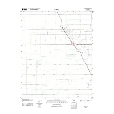
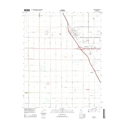
Editions of this 1950 Goshen Map
This is the sole edition of this map. No revisions or reprints were ever made.
Historical Maps of Visalia Through Time
7 maps found