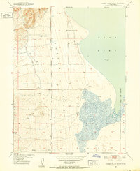
1950 Map of Goshen Valley North
USGS Topo · Published 1952About this map
Utah Lake dominates the eastern edge of this 1950 survey, where the shoreline meets the expansive flats of the Goshen Valley. The landscape is defined by the transition from the water's edge to the rising terrain toward Coyote Pass in the northwest. This map captures a moment when local water management was in flux, evidenced by the presence of an Abandoned Canal cutting across the valley floor. The western margins of Genola Town Boundary appear along the lake, showing the early spatial limits of the settlement relative to the shoreline and the Salt Lake Meridian. Scattered infrastructure, including several Well sites and a Pump, indicates the ongoing reliance on groundwater to support the agricultural potential of this arid valley before more modern irrigation systems were fully realized. The seasonal drainage of Pinyon Creek enters from the south, illustrating the natural watercourses that shaped the valley’s topography.
Find a feature on this map
9 named features on this map. Tap any name to fly to it.
Don’t see what you’re looking for? This feature index may not catch every label — zoom into the map to look around manually.
Map Details
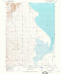
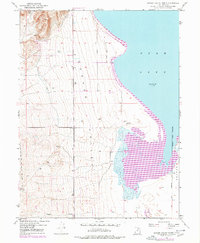
Editions of this 1950 Goshen Valley North Map
3 editions found
Other maps of this area

1885 · Salt Lake
USGS Topo · 1:250,000

1885 · Manti
USGS Topo · 1:250,000

1885 · Sevier Desert
USGS Topo · 1:250,000

1885 · Tooele Valley
USGS Topo · 1:250,000

1895 · Manti
USGS Topo · 1:250,000

1947 · Fivemile Pass
USGS Topo · 1:62,500

1947 · Allens Ranch
USGS Topo · 1:24,000

1947 · Goshen Pass
USGS Topo · 1:24,000

1949 · Eureka
USGS Topo · 1:24,000

1949 · Allens Ranch
USGS Topo · 1:24,000