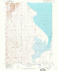
1950 Map of Goshen Valley North
USGS Topo · Published 1970About this map
Utah Lake defines the eastern shoreline of this territory, where the water's edge met the land at an elevation of 4487 feet in late 1949. The landscape transitions from the aquatic margins of the lake and the marshy reaches of White Lake into the broad expanse of the Goshen Valley. Evidence of earlier irrigation and water management efforts is visible through the Abandoned Canal and various wells scattered across the valley floor. To the northwest, the terrain rises sharply toward Coyote Pass, while Pinyon Creek marks the southern drainage. This 1950 survey, with photorevisions from 1969, captures the rural character of the area along the Salt Lake Meridian and the established Genola Town Boundary, reflecting a period of transition in local water infrastructure and land use.
Find a feature on this map
12 named features on this map. Tap any name to fly to it.
Don’t see what you’re looking for? This feature index may not catch every label — zoom into the map to look around manually.
Map Details
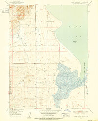
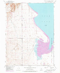
Editions of this 1950 Goshen Valley North Map
3 editions found
Other maps of this area

1885 · Salt Lake
USGS Topo · 1:250,000

1885 · Manti
USGS Topo · 1:250,000

1885 · Sevier Desert
USGS Topo · 1:250,000

1885 · Tooele Valley
USGS Topo · 1:250,000

1895 · Manti
USGS Topo · 1:250,000

1947 · Fivemile Pass
USGS Topo · 1:62,500

1947 · Allens Ranch
USGS Topo · 1:24,000

1947 · Goshen Pass
USGS Topo · 1:24,000

1949 · Eureka
USGS Topo · 1:24,000

1949 · Allens Ranch
USGS Topo · 1:24,000