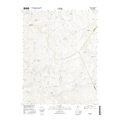
2016 Map of Goshen
USGS Topo · Published 2016About this map
The Left Fork Right Fork Little Kanawha River and the Left Fork Holly River carve through this high mountain terrain where the borders of Randolph, Upshur, and Webster counties converge. Small settlements like Arvondale, Goshen, and Eden are connected by a network of winding county routes and forest tracks, including the Bendertown Rd and Baili Ridge Rd. The landscape is dotted with several family and community burial grounds, such as Gregory Cem, Rice Cem, and the simple Old Cem, providing a spatial record of rural West Virginian genealogy.
Find a feature on this map
86 named features on this map. Tap any name to fly to it.
Don’t see what you’re looking for? This feature index may not catch every label — zoom into the map to look around manually.
Map Details
Editions of this 2016 Goshen Map
This is the sole edition of this map. No revisions or reprints were ever made.
Other maps of this area

1893 · Buckhannon
USGS Topo · 1:125,000

1896 · Buckhannon
USGS Topo · 1:125,000

1897 · Buckhannon
USGS Topo · 1:125,000
1912 · Sago
USGS Topo · 1:48,000
1912 · Crawford
USGS Topo · 1:48,000
1913 · Hacker Valley
USGS Topo · 1:48,000
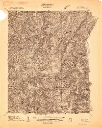
1913 · Pickens
USGS Topo · 1:48,000
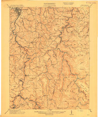
1914 · Sago
USGS Topo · 1:62,500
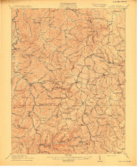
1914 · Crawford
USGS Topo · 1:62,500
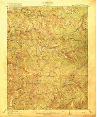
1915 · Hacker Valley
USGS Topo · 1:62,500