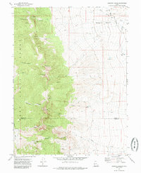
1972 Map of Goshute Canyon
USGS Topo · Published 1985About this map
The Deep Creek Range dominates this landscape, its steep eastern slopes falling toward the desert floor along the border of Tooele and Juab counties. This 1970s survey captures a high-desert environment where water is the primary driver of human presence, marked by a string of reliable sources including Eightmile Spring and Rock Springs. The map reveals the early industrial footprint in the mountains, notably the Eagles Nest Mine and the Oro del Rey Mine, while Indian Squaw Rock stands as a prominent natural landmark in the southern reaches.
Find a feature on this map
31 named features on this map. Tap any name to fly to it.
Don’t see what you’re looking for? This feature index may not catch every label — zoom into the map to look around manually.
Map Details
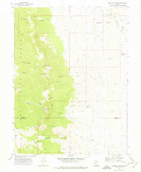
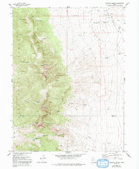
Editions of this 1972 Goshute Canyon Map
3 editions found
Other maps of this area

1908 · Fish Springs
USGS Topo · 1:250,000

1910 · Fish Springs
USGS Topo · 1:250,000

1925 · Gold Hill
USGS Topo · 1:62,500

1928 · Gold Hill
USGS Topo · 1:62,500

1953 · Tooele
USGS Topo · 1:250,000

1953 · Delta
USGS Topo · 1:250,000

1955 · Tooele
USGS Topo · 1:250,000

1958 · Delta
USGS Topo · 1:250,000

1962 · Delta
USGS Topo · 1:250,000

1972 · Mud Lake Reservoir
USGS Topo · 1:24,000