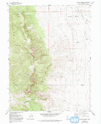
1972 Map of Goshute Canyon
USGS Topo · Published 1992About this map
The Pony Express and Overland Stage Road cuts across the northeastern flats of this quadrangle, tracing the historic corridor of westward migration and communication. In this high-desert landscape of the early 1970s, the Deep Creek Range dominates the western half of the map, rising sharply from the valley floor. Deeply incised drainages like Hardscrabble Canyon and Goshute Canyon reveal a history of resource extraction, with mining activity evidenced at the Eagles Nest Mine and the Oro del Rey Mine. Settlement is sparse in this borderland between Tooele and Juab counties, represented primarily by the isolated Sixmile Ranch. Water sources are critical landmarks here, including the Eightmile Spring and various other Springs, which historically supported the travelers and livestock moving through the arid basin toward the canyons.
Find a feature on this map
26 named features on this map. Tap any name to fly to it.
Don’t see what you’re looking for? This feature index may not catch every label — zoom into the map to look around manually.
Map Details
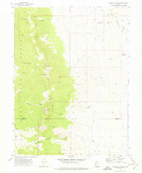
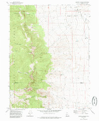
Editions of this 1972 Goshute Canyon Map
3 editions found
Other maps of this area

1908 · Fish Springs
USGS Topo · 1:250,000

1910 · Fish Springs
USGS Topo · 1:250,000

1925 · Gold Hill
USGS Topo · 1:62,500

1928 · Gold Hill
USGS Topo · 1:62,500

1953 · Tooele
USGS Topo · 1:250,000

1953 · Delta
USGS Topo · 1:250,000

1955 · Tooele
USGS Topo · 1:250,000

1958 · Delta
USGS Topo · 1:250,000

1962 · Delta
USGS Topo · 1:250,000

1972 · Mud Lake Reservoir
USGS Topo · 1:24,000