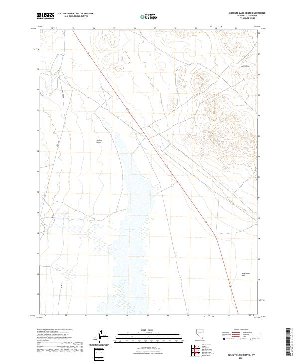
2021 Map of Goshute Lake North
USGS Topo · Published 2021About this map
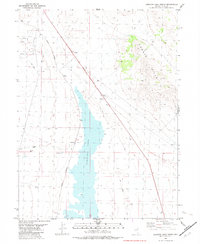
Goshute Lake sits at the heart of this high-desert landscape in the Steptoe Valley, where the ephemeral water levels of the Great Basin are clearly visible through the mapped wetland boundaries. The terrain transitions from the wide, flat basin floor into the rising elevations of the Currie Hills to the northeast. Human presence in this area is defined by the utilitarian grid of the Public Land Survey System and the long stretches of Cherry Creek Rd and Elko Co Rd that parallel the valley's axis. These roads trace the historic movement patterns through Elko County, providing access to the rugged interior between mountain ranges. To the southeast, Waterspout Wash drains toward the lakebed, illustrating the seasonal drainage patterns essential to the local ecosystem.
Find a feature on this map
10 named features on this map. Tap any name to fly to it.
Don’t see what you’re looking for? This feature index may not catch every label — zoom into the map to look around manually.
Map Details
Editions of this 2021 Goshute Lake North Map
This is the sole edition of this map. No revisions or reprints were ever made.
Other maps of this area

1955 · Elko
USGS Topo · 1:250,000

1958 · Elko
USGS Topo · 1:250,000

1962 · Elko
USGS Topo · 1:250,000

1965 · Elko
USGS Topo · 1:250,000

1982 · Currie
USGS Topo · 1:24,000

1982 · Sharp Peak
USGS Topo · 1:24,000
1982 · Goshute Lake South
USGS Topo · 1:24,000
1982 · Goshute Lake NE
USGS Topo · 1:24,000
1982 · Lages Station
USGS Topo · 1:24,000
1982 · Goshute Lake North
USGS Topo · 1:24,000