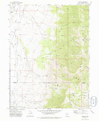
1972 Map of Goshute
USGS Topo · Published 1986About this map
The Goshute Indian Reservation dominates this 1970s landscape, straddling the line between Tooele and Juab counties. The settlement of Goshute sits in the lower reaches of the quadrangle, where Sams Birch Creek and Birch Creek flow from the high country. The terrain transitions sharply from the floor of the Deep Creek Valley to the steep eastern slopes of the Deep Creek Range, culminating at Bald Mountain and Rocky Peak. This transition is marked by numerous water sources, including Skinner Springs and the aptly named Petroglyph Creek, which suggest the long history of human occupation in this arid environment. The map details an intricate network of drainage systems such as Eightmile Canyon and Kelly Canyon, alongside a small Cem and isolated landmarks like Chimney Rock in the southeast corner near the Basin.
Find a feature on this map
40 named features on this map. Tap any name to fly to it.
Don’t see what you’re looking for? This feature index may not catch every label — zoom into the map to look around manually.
Map Details
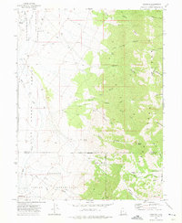
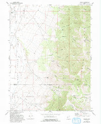
Editions of this 1972 Goshute Map
3 editions found
Other maps of this area

1908 · Fish Springs
USGS Topo · 1:250,000

1910 · Fish Springs
USGS Topo · 1:250,000

1925 · Gold Hill
USGS Topo · 1:62,500

1928 · Gold Hill
USGS Topo · 1:62,500

1953 · Tooele
USGS Topo · 1:250,000

1953 · Delta
USGS Topo · 1:250,000

1955 · Tooele
USGS Topo · 1:250,000

1955 · Elko
USGS Topo · 1:250,000

1956 · Ely
USGS Topo · 1:250,000

1958 · Elko
USGS Topo · 1:250,000