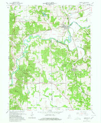
1965 Map of Gosport
USGS Topo · Published 1967About this map
The White River meanders through the heart of this mid-century survey, defining the industrial and social boundaries between Owen, Monroe, and Morgan counties. The town of Gosport sits at a critical junction where the Conrail railroad meets the river, surrounded by the upland terrain of Arganhight Hill and Mt Tabor. Downstream, the limestone economy is evident in the numerous quarries and gravel pits concentrated around Stinesville and Romona.
Find a feature on this map
57 named features on this map. Tap any name to fly to it.
Don’t see what you’re looking for? This feature index may not catch every label — zoom into the map to look around manually.
Map Details
Editions of this 1965 Gosport Map
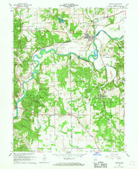
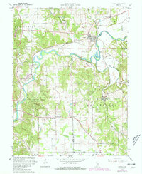
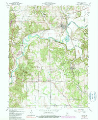
4 editions found
Other maps of this area

1908 · Bloomington
USGS Topo · 1:48,000

1908 · Bloomfield
USGS Topo · 1:62,500

1910 · Bloomington
USGS Topo · 1:62,500

1947 · Gosport
USGS Topo · 1:24,000

1949 · Quincy
USGS Topo · 1:24,000

1950 · Gosport
USGS Topo · 1:24,000

1953 · Indianapolis
USGS Topo · 1:250,000

1956 · Indianapolis
USGS Topo · 1:250,000

1956 · Cataract
USGS Topo · 1:24,000

1956 · Freedom
USGS Topo · 1:24,000