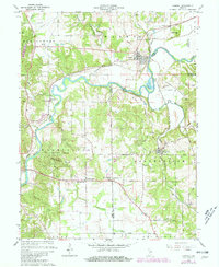
1965 Map of Gosport
USGS Topo · Published 1981About this map
Mc Cormicks Creek State Park anchors this landscape where the White River meanders past limestone outcrops and historic transportation corridors. The settlement of Gosport sits at a strategic bend in the river, served by the Conrail and Louisville and Nashville railroads. The area's geological character is evident in the numerous quarries near Stinesville and Romona, highlighting the region's long-standing stone industry.
Find a feature on this map
59 named features on this map. Tap any name to fly to it.
Don’t see what you’re looking for? This feature index may not catch every label — zoom into the map to look around manually.
Map Details
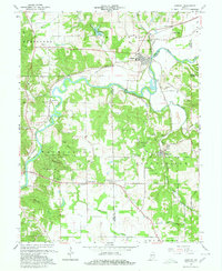
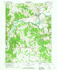
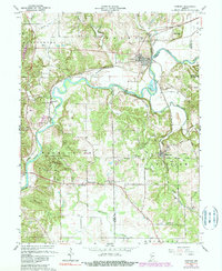
Editions of this 1965 Gosport Map
4 editions found
Other maps of this area

1908 · Bloomington
USGS Topo · 1:48,000

1908 · Bloomfield
USGS Topo · 1:62,500

1910 · Bloomington
USGS Topo · 1:62,500

1947 · Gosport
USGS Topo · 1:24,000

1949 · Quincy
USGS Topo · 1:24,000

1950 · Gosport
USGS Topo · 1:24,000

1953 · Indianapolis
USGS Topo · 1:250,000

1956 · Indianapolis
USGS Topo · 1:250,000

1956 · Cataract
USGS Topo · 1:24,000

1956 · Freedom
USGS Topo · 1:24,000