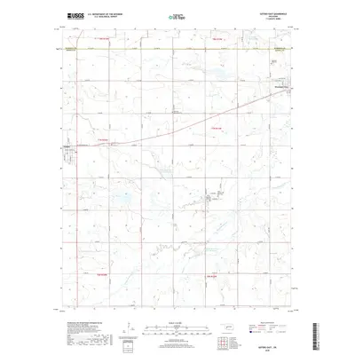
2018 Map of Gotebo East
USGS Topo · Published 2018About this map
The Washita River winds through the northern portion of this landscape, marking the boundary between Washita and Kiowa counties. This area of Oklahoma is defined by its deep spiritual and communal roots, evidenced by the clustered burial sites along the hillsides. The transition from the Rainy Mountain Old Cem to the Rainy Mountain New Cem offers a direct link to the local Kiowa heritage and the history of the nearby missions. To the west, the edge of Gotebo is visible, while Mountain View anchors the northeastern corner. The landscape is segmented by a strictly defined grid of section roads like e1340 RD and e1350 RD, which cut across the meandering paths of Rainy Mountain Creek and Sugar Creek. Several reservoirs, including the Rainy Mountain Cr Site 5 Reservoir, illustrate the importance of water management in this agricultural region.
Find a feature on this map
36 named features on this map. Tap any name to fly to it.
Don’t see what you’re looking for? This feature index may not catch every label — zoom into the map to look around manually.
Map Details
Editions of this 2018 Gotebo East Map
This is the sole edition of this map. No revisions or reprints were ever made.
Other maps of this area

1949 · Cooperton
USGS Topo · 1:62,500

1950 · Saddle Mountain
USGS Topo · 1:62,500

1955 · Lawton
USGS Topo · 1:250,000

1955 · Clinton
USGS Topo · 1:250,000

1956 · Bally Mountain
USGS Topo · 1:24,000

1956 · Unap Mountain
USGS Topo · 1:24,000

1956 · Rainy Mountain Creek
USGS Topo · 1:24,000

1956 · Saddle Mountain
USGS Topo · 1:62,500

1956 · Cooperton
USGS Topo · 1:62,500

1957 · Clinton
USGS Topo · 1:250,000