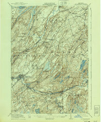
1915 Map of Gouverneur
USGS Topo · Published 1940About this map
The Oswegatchie River and its west branch carve a winding path through this corner of St. Lawrence County, anchoring a landscape of small industrial hamlets and farming communities. In the village of Gouverneur, the river provides the industrial backbone for the area, flowing past Natural Dam and the Reservoir. The rural character of the early twentieth century is evident in the dense network of district schools, including specialized names like the Scotch Settlement School and the Ore Bed School, the latter hinting at the region's mineral interests.
Find a feature on this map
84 named features on this map. Tap any name to fly to it.
Don’t see what you’re looking for? This feature index may not catch every label — zoom into the map to look around manually.
Map Details
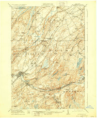
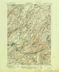
Editions of this 1915 Gouverneur Map
4 editions found
Other maps of this area

1904 · Ogdensburg
USGS Topo · 1:62,500

1905 · Ogdensburg
USGS Topo · 1:62,500

1906 · Brier Hill
USGS Topo · 1:62,500

1910 · Canton
USGS Topo · 1:62,500

1911 · Canton
USGS Topo · 1:62,500

1911 · Antwerp
USGS Topo · 1:62,500

1912 · Hammond
USGS Topo · 1:62,500

1913 · Lake Bonaparte
USGS Topo · 1:62,500

1915 · Gouverneur
USGS Topo · 1:62,500

1915 · Russell
USGS Topo · 1:62,500