
1915 Map of Gouverneur
USGS Topo · Published 1915About this map
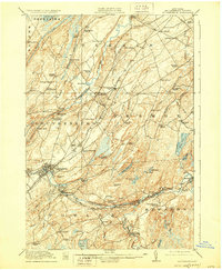
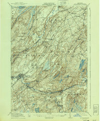
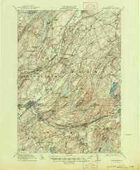
The Oswegatchie River and the Indian River anchor this 1915 survey of southwestern St. Lawrence County, revealing an era when local industry and rural education defined the landscape. Industrial sites like the Fullerville Ironworks and the Natural Dam underscore the region's reliance on water power and mineral extraction, while the New York Central and St. Lawrence Division railroad connects major hubs like Gouverneur and Richville.
Find a feature on this map
77 named features on this map. Tap any name to fly to it.
Don’t see what you’re looking for? This feature index may not catch every label — zoom into the map to look around manually.
Map Details
Editions of this 1915 Gouverneur Map
4 editions found
Other maps of this area

1904 · Ogdensburg
USGS Topo · 1:62,500

1905 · Ogdensburg
USGS Topo · 1:62,500

1906 · Brier Hill
USGS Topo · 1:62,500

1910 · Canton
USGS Topo · 1:62,500

1911 · Canton
USGS Topo · 1:62,500

1911 · Antwerp
USGS Topo · 1:62,500

1912 · Hammond
USGS Topo · 1:62,500

1913 · Lake Bonaparte
USGS Topo · 1:62,500

1915 · Russell
USGS Topo · 1:62,500

1916 · Lake Bonaparte
USGS Topo · 1:62,500