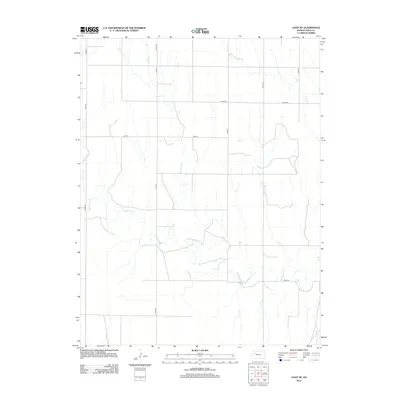
2012 Map of Gove NE
USGS Topo · Published 2012About this map
Hackberry Cr winds through this rural section of Gove County, defining the drainage patterns of an open Kansas landscape primarily organized by a rigid grid of county roads. The watercourse and its smaller tributary, E Spring Cr, are the primary natural landmarks in an area dominated by agricultural sections. This 2012 survey by the U.S. Geological Survey illustrates the modern infrastructure of the High Plains, where routes like Gove 5 and Gove 58 facilitate travel across the expansive terrain. The map's contour lines reveal the gentle draws and subtle rises typical of this part of the state, showing how property boundaries and local transit such as Co Rd-499 and Co Rd-452 adhere to the cardinal directions of the original public land surveys.
Find a feature on this map
12 named features on this map. Tap any name to fly to it.
Don’t see what you’re looking for? This feature index may not catch every label — zoom into the map to look around manually.
Map Details
Editions of this 2012 Gove NE Map
This is the sole edition of this map. No revisions or reprints were ever made.
Other maps of this area

1954 · Goodland
USGS Topo · 1:250,000

1955 · Scott City
USGS Topo · 1:250,000

1956 · Goodland
USGS Topo · 1:250,000

1957 · Goodland
USGS Topo · 1:250,000

1958 · Scott City
USGS Topo · 1:250,000
1972 · Gove NE
USGS Topo · 1:24,000
1972 · Castle Rock NW
USGS Topo · 1:24,000
1972 · Gove
USGS Topo · 1:24,000
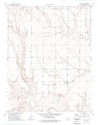
1974 · Gove SW
USGS Topo · 1:24,000
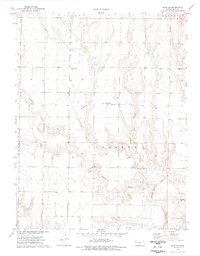
1974 · Gove SE
USGS Topo · 1:24,000