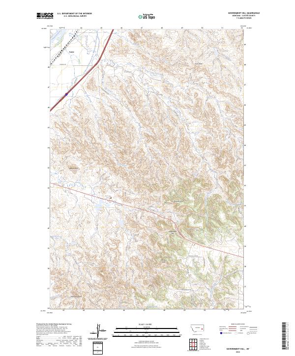
2024 Map of Government Hill
USGS Topo · Published 2024About this map
Tusler sits at the northwestern edge of this landscape, positioned where the Yellowstone River and the Tongue and Yellowstone River Irrigation District Canal define the lowland valley. The terrain quickly shifts into a complex network of drainages and prominent rises, including Badland Butte and Strawberry Hill. Central to the map is Government Hill, a high point that overlooks the dissected geography of The Pine Hills. This area is characterized by a series of named creek systems, such as Alkali Creek, Bensley Creek, and the headwaters of Jones Creek, which have carved deep channels through the sedimentary layers.
Find a feature on this map
42 named features on this map. Tap any name to fly to it.
Don’t see what you’re looking for? This feature index may not catch every label — zoom into the map to look around manually.
Map Details
Editions of this 2024 Government Hill Map
This is the sole edition of this map. No revisions or reprints were ever made.
Other maps of this area

1953 · Miles City
USGS Topo · 1:250,000

1957 · Miles City
USGS Topo · 1:250,000

1958 · Miles City
USGS Topo · 1:250,000

1968 · Miles City
USGS Topo · 1:24,000

1968 · Paddy Fay Creek
USGS Topo · 1:24,000

1969 · Haines Springs
USGS Topo · 1:24,000

1969 · Noble Reservoir
USGS Topo · 1:24,000

1969 · Kinsey
USGS Topo · 1:24,000

1969 · Government Hill
USGS Topo · 1:24,000

1969 · The Knob
USGS Topo · 1:24,000