
1969 Map of Noble Reservoir
USGS Topo · Published 1973About this map
Noble Reservoir and Hall Reservoir anchor this 1969 study of the semi-arid grasslands of Custer County. The landscape is defined by an intricate drainage network of seasonal watercourses, including Sand Creek, Cow Creek, and House Creek, which flow through the dissected uplands toward the Yellowstone River valley. This cattle-country terrain, surveyed at the end of the 1960s, is largely undeveloped, with Caprock Road providing the primary north-south passage across the high plains.
Find a feature on this map
10 named features on this map. Tap any name to fly to it.
Don’t see what you’re looking for? This feature index may not catch every label — zoom into the map to look around manually.
Map Details
Editions of this 1969 Noble Reservoir Map
This is the sole edition of this map. No revisions or reprints were ever made.
Other maps of this area

1953 · Miles City
USGS Topo · 1:250,000

1957 · Miles City
USGS Topo · 1:250,000

1958 · Miles City
USGS Topo · 1:250,000

1968 · Big Hill
USGS Topo · 1:24,000

1968 · Miles City
USGS Topo · 1:24,000

1969 · Horse Creek Hill
USGS Topo · 1:24,000
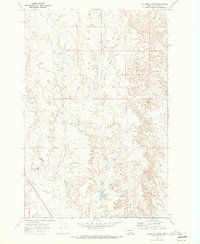
1969 · Deadman Creek
USGS Topo · 1:24,000
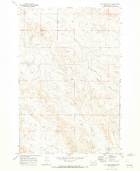
1969 · Coal Bank Spring
USGS Topo · 1:24,000

1969 · Kinsey
USGS Topo · 1:24,000

1969 · Government Hill
USGS Topo · 1:24,000