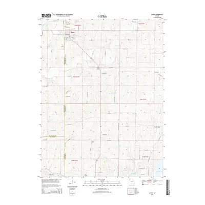
2015 Map of Gower
USGS Topo · Published 2015About this map
Gower serves as the primary hub in this corner of Missouri, situated where the borders of Buchanan and Clinton Counties meet. This rural landscape is defined by its agricultural layout, punctuated by family and community landmarks such as Antioch Cemetery and Allen Cemetery. The terrain follows the drainage of several waterways, including Castile Cr and Linn Br, which flow southward toward the northern reaches of Smithville Lake. Small settlements like Grayson and Scearces are connected by a network of rural routes, including NW Old Highway 169. The southern edge of the survey captures the fringe of Edgerton and the small-scale aviation footprint of Starr Airport. This map illustrates the persistence of traditional land divisions, showing how historic cemeteries like Mount Carmel Cemetery and Grayson Cemetery anchor the community's geographic identity over time.
Find a feature on this map
57 named features on this map. Tap any name to fly to it.
Don’t see what you’re looking for? This feature index may not catch every label — zoom into the map to look around manually.
Map Details
Editions of this 2015 Gower Map
This is the sole edition of this map. No revisions or reprints were ever made.
Other maps of this area

1890 · Kansas City
USGS Topo · 1:125,000

1894 · Kansas City
USGS Topo · 1:125,000

1894 · Independence
USGS Topo · 1:125,000

1914 · Smithville
USGS Topo · 1:62,500

1925 · Gower
USGS Topo · 1:62,500

1925 · Plattsburg
USGS Topo · 1:62,500

1936 · Kearney
USGS Topo · 1:48,000

1942 · Kearney
USGS Topo · 1:62,500

1945 · Kearney
USGS Topo · 1:62,500

1950 · Kansas City
USGS Topo · 1:250,000