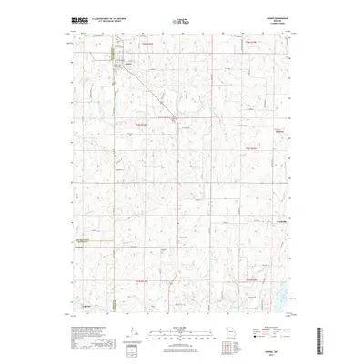
2017 Map of Gower
USGS Topo · Published 2017About this map
Gower serves as the primary hub in this Missouri landscape where the borders of Clinton, Buchanan, and Platte counties meet. The town's grid is detailed with streets like Hallar Ave and Field St, while the surrounding rural landscape is marked by long-standing family and community landmarks. Genealogists will find several burial grounds, including Antioch Cem near the northern border and Mount Carmel Cem further south. The drainage of Castile Creek and its tributaries like Jenkins Br and Wolfpen Cr define the undulating terrain. To the south, the village of Grayson and the nearby Grayson Cem sit above the waters of Morse Lake, while the Trimble Wildlife Lake occupies the southeastern corner. Small aviation history is represented by Starr Airport, located just north of Edgerton at the bottom of the sheet.
Find a feature on this map
86 named features on this map. Tap any name to fly to it.
Don’t see what you’re looking for? This feature index may not catch every label — zoom into the map to look around manually.
Map Details
Editions of this 2017 Gower Map
This is the sole edition of this map. No revisions or reprints were ever made.
Other maps of this area
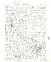
1890 · Kansas City
USGS Topo · 1:125,000
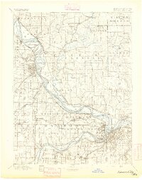
1894 · Kansas City
USGS Topo · 1:125,000
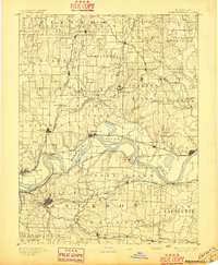
1894 · Independence
USGS Topo · 1:125,000
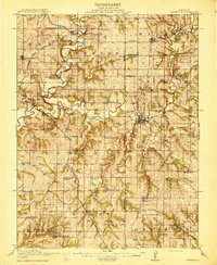
1914 · Smithville
USGS Topo · 1:62,500
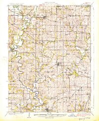
1925 · Gower
USGS Topo · 1:62,500
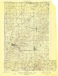
1925 · Plattsburg
USGS Topo · 1:62,500
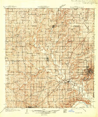
1936 · Kearney
USGS Topo · 1:48,000
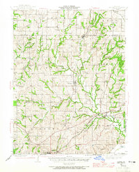
1942 · Kearney
USGS Topo · 1:62,500
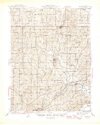
1945 · Kearney
USGS Topo · 1:62,500
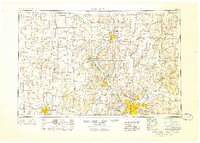
1950 · Kansas City
USGS Topo · 1:250,000