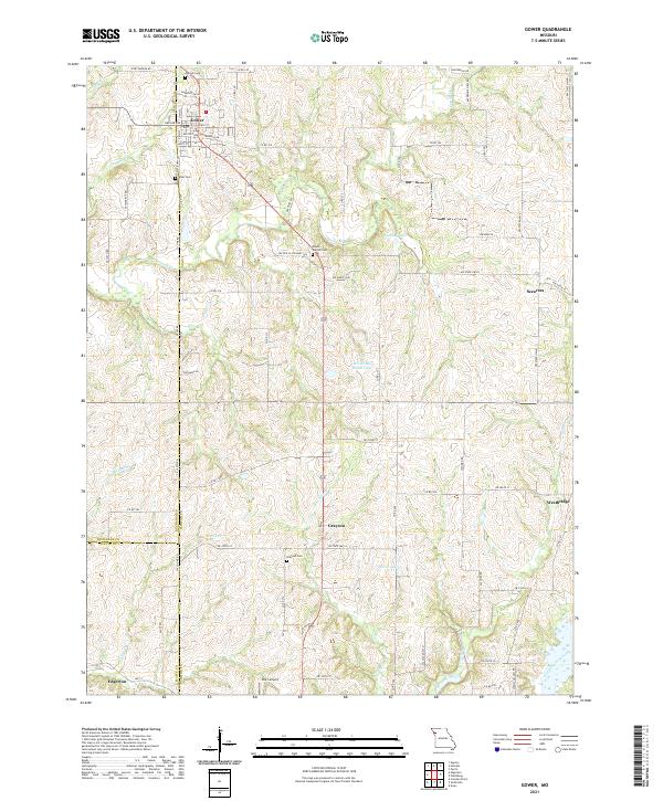
2021 Map of Gower
USGS Topo · Published 2021About this map
Gower serves as a focal point in this 2021 study, where the intersection of Co Line Rd and Hallar Ave marks the town's residential grid. The landscape is defined by the convergence of three counties—Buchanan, Clinton, and Platte—creating a complex jurisdictional boundary near the southern edge. This area retains a largely agricultural character, with scattered settlements like Grayson and Edgerton linked by a web of local routes including NW Old US Highway 169.
Find a feature on this map
77 named features on this map. Tap any name to fly to it.
Don’t see what you’re looking for? This feature index may not catch every label — zoom into the map to look around manually.
Map Details
Editions of this 2021 Gower Map
This is the sole edition of this map. No revisions or reprints were ever made.
Other maps of this area

1890 · Kansas City
USGS Topo · 1:125,000

1894 · Kansas City
USGS Topo · 1:125,000

1894 · Independence
USGS Topo · 1:125,000

1914 · Smithville
USGS Topo · 1:62,500

1925 · Gower
USGS Topo · 1:62,500

1925 · Plattsburg
USGS Topo · 1:62,500

1936 · Kearney
USGS Topo · 1:48,000

1942 · Kearney
USGS Topo · 1:62,500

1945 · Kearney
USGS Topo · 1:62,500

1950 · Kansas City
USGS Topo · 1:250,000