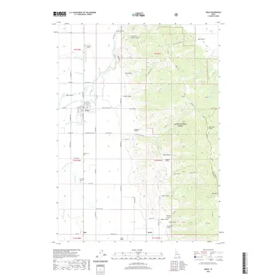
2020 Map of Grace
USGS Topo · Published 2020About this map
The high agricultural valley of Grace defines this 2020 landscape in the Bear River Range. As a modern topographic study, it depicts the contemporary grid of the settlement alongside irrigation infrastructure that supports the local farming economy. The map illustrates how the human-made environment follows the natural contours of the surrounding peaks and canyon floors, providing a clear record of land use and property boundaries in this part of Caribou County.
Find a feature on this map
1 named feature on this map. Tap any name to fly to it.
Don’t see what you’re looking for? This feature index may not catch every label — zoom into the map to look around manually.
Map Details
Editions of this 2020 Grace Map
This is the sole edition of this map. No revisions or reprints were ever made.
Other maps of this area

1915 · Preston
USGS Topo · 1:96,000

1918 · Preston
USGS Topo · 1:125,000

1948 · Bancroft
USGS Topo · 1:62,500

1948 · Soda Springs
USGS Topo · 1:62,500

1949 · Bancroft
USGS Topo · 1:62,500

1949 · Soda Springs
USGS Topo · 1:62,500

1955 · Preston
USGS Topo · 1:250,000

1958 · Preston
USGS Topo · 1:250,000

1962 · Preston
USGS Topo · 1:250,000
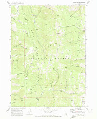
1969 · North Canyon
USGS Topo · 1:24,000