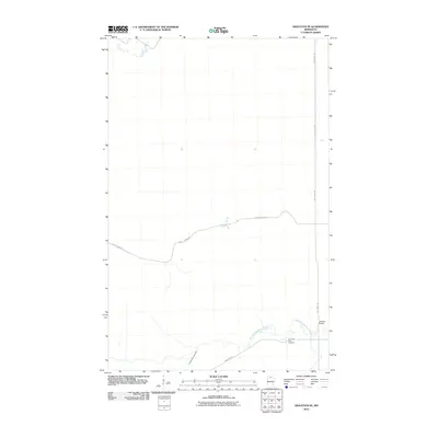
2010 Map of Graceton SE
USGS Topo · Published 2010About this map
The North Branch Rapid River meanders across this northern Minnesota landscape, creating a drainage pattern that dictates the placement of early infrastructure. The Hamilton Farm Cemetery sits on a small rise north of the river, providing a significant touchstone for family historians in Lake of the Woods County. The local road network is defined by trails such as Stony Corners Trl and Bankton Trl, which follow the section lines and natural contours of the area. A notable landmark for navigation is the Lundeen Bridge, which carries travelers across the river's north branch. The map also records the presence of the Pitt Grade Sw, reflecting the region's history of utilizing grades for forestry and transportation through the lowland terrain.
Find a feature on this map
7 named features on this map. Tap any name to fly to it.
Don’t see what you’re looking for? This feature index may not catch every label — zoom into the map to look around manually.
Map Details
Editions of this 2010 Graceton SE Map
This is the sole edition of this map. No revisions or reprints were ever made.
Other maps of this area
1919 · Peppermint Creek
USGS Topo · 1:62,500
1919 · G
USGS Topo · 1:62,500
1919 · Knutson
USGS Topo · 1:62,500
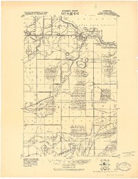
1921 · Baudette
USGS Topo · 1:62,500
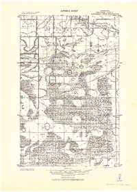
1943 · Peppermint Creek
USGS Topo · 1:62,500
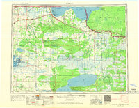
1954 · Roseau
USGS Topo · 1:250,000
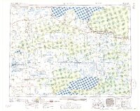
1957 · Roseau
USGS Topo · 1:250,000
1958 · Roseau
USGS Topo · 1:250,000
1968 · Graceton SE
USGS Topo · 1:24,000
1968 · Baudette SW
USGS Topo · 1:24,000