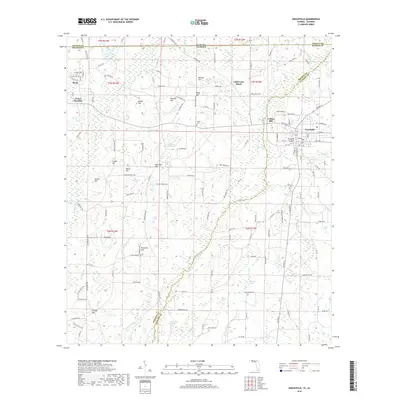
2018 Map of Graceville
USGS Topo · Published 2018About this map
Graceville and the campus of The Baptist College of Florida anchor the eastern side of this Jackson County survey, situated just south of the Alabama state line. The landscape is a network of slow-moving water and low hills, where Holmes Cr winds through a terrain marked by numerous wetland pockets like Collins Bay and Danford Bay. This area illustrates a rural Florida panhandle economy defined by its intersections, from the small settlement at Noma to Cobb Cross Roads and Noma Junction.
Find a feature on this map
153 named features on this map. Tap any name to fly to it.
Don’t see what you’re looking for? This feature index may not catch every label — zoom into the map to look around manually.
Map Details
Editions of this 2018 Graceville Map
This is the sole edition of this map. No revisions or reprints were ever made.
Other maps of this area

1942 · Enterprise
USGS Topo · 1:125,000

1950 · Chipley
USGS Topo · 1:24,000

1950 · Esto
USGS Topo · 1:24,000

1951 · Graceville
USGS Topo · 1:24,000

1951 · Esto
USGS Topo · 1:24,000

1951 · Chipley
USGS Topo · 1:24,000

1951 · Bonifay
USGS Topo · 1:24,000

1952 · Campbellton
USGS Topo · 1:24,000

1952 · Cottondale West
USGS Topo · 1:24,000

1953 · Dothan
USGS Topo · 1:250,000