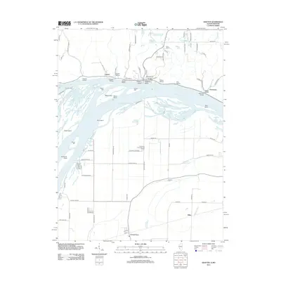
2012 Map of Grafton
USGS Topo · Published 2012About this map
The confluence area where the Illinois River meets the Mississippi River dominates this 2012 survey, revealing the complex geography of islands and chutes that define this riverine landscape. Grafton sits at the river junction, carved into by a series of geographic recesses including Jerseyville Hollow and Distillery Hollow. To the south, the flatlands of Missouri are home to the Orchard Farm community and the St Charles County Smartt Airport.
Find a feature on this map
100 named features on this map. Tap any name to fly to it.
Don’t see what you’re looking for? This feature index may not catch every label — zoom into the map to look around manually.
Map Details
Editions of this 2012 Grafton Map
This is the sole edition of this map. No revisions or reprints were ever made.
Other maps of this area

1903 · O'Fallon
USGS Topo · 1:125,000

1924 · Robertson
USGS Topo · 1:24,000

1927 · St. Charles
USGS Topo · 1:62,500

1930 · Hardin
USGS Topo · 1:62,500

1930 · Jerseyville
USGS Topo · 1:62,500

1931 · Brussels
USGS Topo · 1:62,500

1933 · Jerseyville
USGS Topo · 1:62,500

1933 · Saint Charles
USGS Topo · 1:62,500

1934 · Hardin
USGS Topo · 1:62,500

1935 · Florissant
USGS Topo · 1:24,000