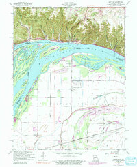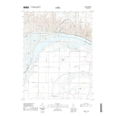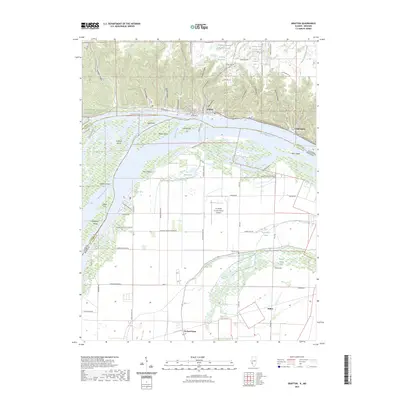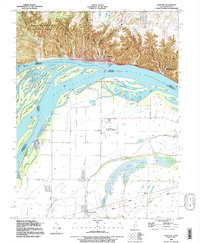
1990 Map of Grafton
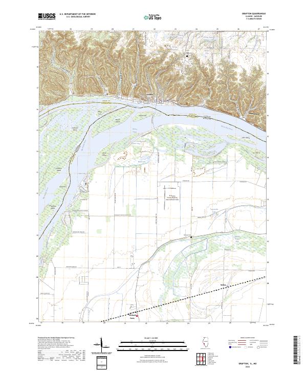
USGS Topo · Published 1995About this map
The confluence of the Mississippi River and the Illinois River dominates this landscape, where the high bluffs of Jersey County meet the sprawling bottomlands of Missouri. The riverfront at Grafton serves as a gateway to the steep, wooded ravines of Pere Marquette State Park, a terrain marked by deep hollows such as Graham Hollow and Jerseyville Hollow. This 1990s revision shows the complex hydraulic network of the river system, featuring numerous chutes and islands including Mason Island and Enterprise Island, alongside the managed waters of Marais Temps Clair. To the south, the flat floodplain of St. Charles County supports aviation at St Charles Smartt Airfield and the small agricultural community of Orchard Farm. Local history is preserved in sites like Scenic Hill Cem and Barweis Cem, while the recreational character of the river is seen at Chautauqua and along the Mc Adams Highway.
Find a feature on this map
52 named features on this map. Tap any name to fly to it.
Don’t see what you’re looking for? This feature index may not catch every label — zoom into the map to look around manually.
Map Details
Editions of this 1990 Grafton Map
This is the sole edition of this map. No revisions or reprints were ever made.
Historical Maps of Grafton Through Time
8 maps found