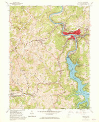
1960 Map of Grafton
USGS Topo · Published 1970About this map
Grafton serves as a critical junction for the Baltimore and Ohio railroad, which snakes through the steep valleys of the Tygart River. The terrain is deeply marked by industry and civic life, from the extensive strip mines dotting the hills near Wendel and Flemington to the W Va Industrial School for Boys in Pruntytown. The landscape reflects a transition toward modern utility and recreation following the creation of Tygart Lake, with its extensive Tygart Lake State Park lands and a spillway controlling the river's flow.
Find a feature on this map
87 named features on this map. Tap any name to fly to it.
Don’t see what you’re looking for? This feature index may not catch every label — zoom into the map to look around manually.
Map Details
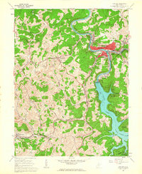
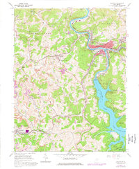
Editions of this 1960 Grafton Map
3 editions found
Other maps of this area

1886 · St. George
USGS Topo · 1:125,000

1891 · St. George
USGS Topo · 1:125,000

1902 · Fairmont
USGS Topo · 1:62,500

1904 · Philippi
USGS Topo · 1:62,500

1907 · Thornton
USGS Topo · 1:62,500

1907 · Belington
USGS Topo · 1:62,500

1923 · Fairmont
USGS Topo · 1:62,500

1925 · Philippi
USGS Topo · 1:62,500

1926 · Fairmont
USGS Topo · 1:62,500

1926 · Thornton
USGS Topo · 1:62,500