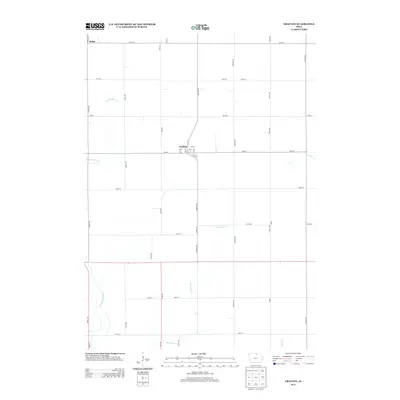
2013 Map of Grafton
USGS Topo · Published 2013About this map
Grafton serves as the central hub of this agricultural landscape, defined by a rigid grid of country roads and several meandering waterways. The town layout is clearly delineated with numbered streets and avenues, including 1st St and 3rd Ave, while the small settlement of Bolan sits in the northwest corner near the intersection of Thrush Ave and 420th St. Water management is a visible priority across the terrain, evidenced by the channelized flow of Ditch Number 53 and several natural streams like Rock Falls Cr and the Shell Rock River. This survey captures the rural infrastructure of northern Iowa in the early 21st century, showing the transition from traditional section-line roads like Zinnia Ave to the modern county highway system represented by Co Hwy-S62.
Find a feature on this map
38 named features on this map. Tap any name to fly to it.
Don’t see what you’re looking for? This feature index may not catch every label — zoom into the map to look around manually.
Map Details
Editions of this 2013 Grafton Map
This is the sole edition of this map. No revisions or reprints were ever made.
Other maps of this area

1954 · Mason City
USGS Topo · 1:250,000

1957 · Mason City
USGS Topo · 1:250,000

1958 · Mason City
USGS Topo · 1:250,000

1959 · Mason City
USGS Topo · 1:24,000

1959 · Mason City
USGS Topo · 1:62,500

1959 · Nora Springs
USGS Topo · 1:24,000

1971 · Rudd
USGS Topo · 1:24,000

1972 · St. Ansgar
USGS Topo · 1:24,000

1972 · Osage SW
USGS Topo · 1:24,000

1972 · Manly
USGS Topo · 1:24,000