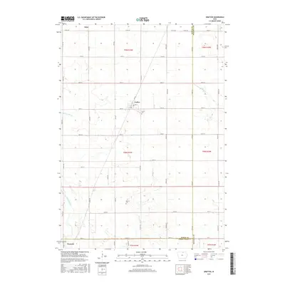
2015 Map of Grafton
USGS Topo · Published 2015About this map
The town of Grafton serves as a central hub for this North Central Iowa landscape, situated at the junction of Co RD s62 and 390th ST. This 2015 data reflects a highly structured agricultural grid spanning the borders of Worth, Mitchell, and Cerro Gordo counties. Small rural settlements like Bolan to the northwest and the northern edge of Plymouth provide anchoring points for local history researchers. The drainage patterns are meticulously documented, featuring engineered waterways such as Ditch Number 53 alongside natural meanders of the Shell Rock River and Rock Falls Cr. Several family-named and local burial sites, including the Schmidt Cem and Grafton Cem, offer significant genealogy value. The map illustrates how modern county highways like Co HWY s64 follow historic township lines, maintaining the 19th-century land survey patterns while serving a contemporary grain-production economy.
Find a feature on this map
48 named features on this map. Tap any name to fly to it.
Don’t see what you’re looking for? This feature index may not catch every label — zoom into the map to look around manually.
Map Details
Editions of this 2015 Grafton Map
This is the sole edition of this map. No revisions or reprints were ever made.
Other maps of this area

1954 · Mason City
USGS Topo · 1:250,000

1957 · Mason City
USGS Topo · 1:250,000

1958 · Mason City
USGS Topo · 1:250,000

1959 · Mason City
USGS Topo · 1:24,000

1959 · Mason City
USGS Topo · 1:62,500

1959 · Nora Springs
USGS Topo · 1:24,000

1971 · Rudd
USGS Topo · 1:24,000

1972 · St. Ansgar
USGS Topo · 1:24,000

1972 · Osage SW
USGS Topo · 1:24,000

1972 · Manly
USGS Topo · 1:24,000