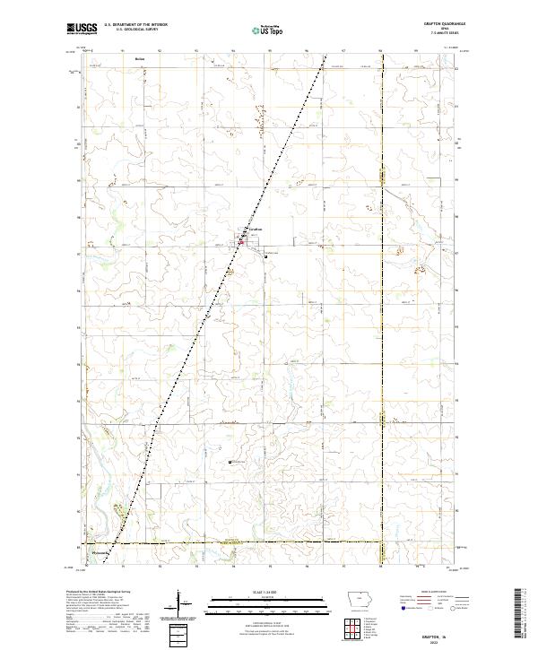
2022 Map of Grafton
USGS Topo · Published 2022About this map
Grafton serves as a primary hub for this section of Northern Iowa, situated where Co Rd S62 and 390th St intersect. The landscape is defined by its agricultural grid and the natural drainages that carve through it, including Rock Falls Cr and the larger Shell Rock River which flows near Plymouth. For family historians, the presence of the Grafton Cem and Schmidt Cem provides essential spatial context for the surrounding rural townships. The map illustrates a well-organized road network, with arteries like Co Rd A38 connecting smaller settlements such as Bolan to the larger regional framework. Significant water features like Rock Cr and Flood Cr suggest the natural lowlands that dictate the local topography between the Mitchell, Worth, and Cerro Gordo county lines.
Find a feature on this map
45 named features on this map. Tap any name to fly to it.
Don’t see what you’re looking for? This feature index may not catch every label — zoom into the map to look around manually.
Map Details
Editions of this 2022 Grafton Map
This is the sole edition of this map. No revisions or reprints were ever made.
Other maps of this area

1954 · Mason City
USGS Topo · 1:250,000

1957 · Mason City
USGS Topo · 1:250,000

1958 · Mason City
USGS Topo · 1:250,000

1959 · Mason City
USGS Topo · 1:24,000

1959 · Mason City
USGS Topo · 1:62,500

1959 · Nora Springs
USGS Topo · 1:24,000

1971 · Rudd
USGS Topo · 1:24,000

1972 · St. Ansgar
USGS Topo · 1:24,000

1972 · Osage SW
USGS Topo · 1:24,000

1972 · Manly
USGS Topo · 1:24,000