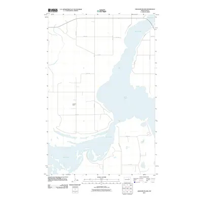
2011 Map of Grahams Island
USGS Topo · Published 2011About this map
Devils Lake dominates the eastern half of this North Dakota landscape, its irregular shoreline and varied water depths surrounding the landmass of Grahams Island. The terrain is characterized by the complex interaction between water and land, where low-lying points and seasonal inlets define the perimeter of the island. A sparse but structured grid of local routes provides access across the interior, including 71st Ave NE and 44th St NE, which serve the agricultural and recreational needs of the Benson County area. To the south, BIA Road 24 crosses through the wetland-heavy southern portion of the island. The map details a moment in time when the rising waters of the basin have significantly reshaped the local geography, creating the distinct peninsular and island forms seen along Oram Dr and the developments at 6 Mile Hts.
Find a feature on this map
17 named features on this map. Tap any name to fly to it.
Don’t see what you’re looking for? This feature index may not catch every label — zoom into the map to look around manually.
Map Details
Editions of this 2011 Grahams Island Map
This is the sole edition of this map. No revisions or reprints were ever made.
Other maps of this area

1928 · Tokio
USGS Topo · 1:62,500

1931 · Oberon
USGS Topo · 1:62,500

1931 · Tokio
USGS Topo · 1:62,500

1931 · Devils Lake
USGS Topo · 1:62,500

1932 · Grahams Island
USGS Topo · 1:62,500

1950 · Grahams Island
USGS Topo · 1:62,500

1950 · Devils Lake
USGS Topo · 1:62,500

1950 · Oberon
USGS Topo · 1:62,500

1951 · Crow Hill
USGS Topo · 1:24,000

1951 · Oberon
USGS Topo · 1:24,000