
1892 Map of Granby
USGS Topo · Published 1910About this map
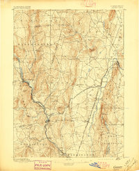
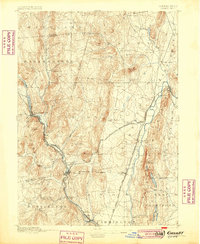
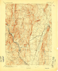
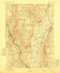
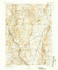
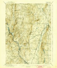
Collinsville and New Hartford serve as industrial and transport hubs along the Farmington River in this late nineteenth-century survey of Hartford County. The landscape is defined by the river's winding path through tight valleys, most notably at the evocatively named Satans Kingdom. The region's economy is clearly tied to its rail infrastructure, with the New York New Haven and Hartford Railroad Collinsville Branch and the Central New England and Western Railroad connecting mill towns like Pine Meadow and Tariffville to the wider world.
Find a feature on this map
71 named features on this map. Tap any name to fly to it.
Don’t see what you’re looking for? This feature index may not catch every label — zoom into the map to look around manually.
Map Details
Editions of this 1892 Granby Map
8 editions found
Other maps of this area

1886 · Springfield
USGS Topo · 1:62,500

1887 · Granville
USGS Topo · 1:62,500

1888 · Sandisfield
USGS Topo · 1:62,500

1889 · Springfield
USGS Topo · 1:62,500

1889 · Granville
USGS Topo · 1:62,500

1892 · Winsted
USGS Topo · 1:62,500

1892 · Hartford
USGS Topo · 1:62,500

1892 · Meriden
USGS Topo · 1:62,500

1892 · Granby
USGS Topo · 1:62,500

1893 · Springfield
USGS Topo · 1:62,500