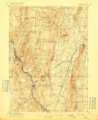
1892 Map of Granby
USGS Topo · Published 1917About this map
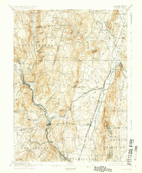
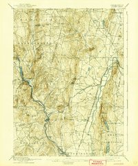
The Farmington River and its various branches dictate the settlement patterns of this late nineteenth-century Connecticut landscape, as seen in the clusters of industry and commerce at Collinsville and Unionville. This 1892 edition, reprinted during World War I, reveals a sophisticated network of transportation including the New York New Haven and Hartford Railroad and the Central New England and Western Railroad, which connected remote outposts like Granby Station and Burlington Station to regional markets.
Find a feature on this map
72 named features on this map. Tap any name to fly to it.
Don’t see what you’re looking for? This feature index may not catch every label — zoom into the map to look around manually.
Map Details
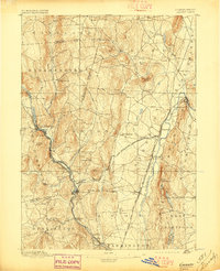
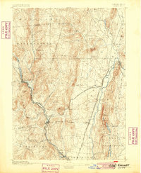
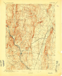
Editions of this 1892 Granby Map
8 editions found

Other maps of this area

1886 · Springfield
USGS Topo · 1:62,500

1887 · Granville
USGS Topo · 1:62,500

1888 · Sandisfield
USGS Topo · 1:62,500

1889 · Springfield
USGS Topo · 1:62,500

1889 · Granville
USGS Topo · 1:62,500

1892 · Winsted
USGS Topo · 1:62,500

1892 · Hartford
USGS Topo · 1:62,500

1892 · Meriden
USGS Topo · 1:62,500

1892 · Granby
USGS Topo · 1:62,500

1893 · Springfield
USGS Topo · 1:62,500