
1892 Map of Granby
USGS Topo · Published 1892About this map
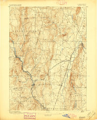
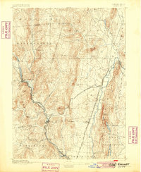
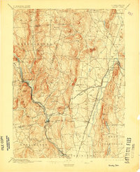
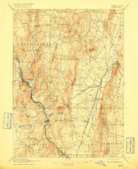
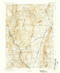
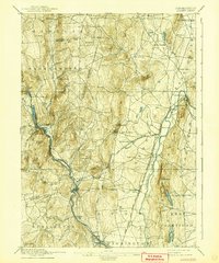
Collinsville and Simsbury anchor this late-nineteenth-century landscape, where the Tunxis or Farmington River carves a path through the valley. The map reveals a complex rail network at its peak, featuring the Central New England and Western Railroad and the New York New Haven and Hartford Railroad Northampton Division. Notable landmarks like Bartlett Tower and Heublein Tower stand atop the ridges, while unusual place names such as Satan's Kingdom reflect local folklore and the challenging terrain. Smaller settlements like Pine Meadow, Weatogue, and Tariffville are shown in their original nineteenth-century layouts. This survey was directed by J.W. Powell and captures the transition from a water-powered industrial economy to a more integrated rail-based commerce system, providing a detailed view of Hartford and Litchfield counties before modern suburban development.
Find a feature on this map
55 named features on this map. Tap any name to fly to it.
Don’t see what you’re looking for? This feature index may not catch every label — zoom into the map to look around manually.
Map Details
Editions of this 1892 Granby Map
8 editions found

Other maps of this area

1886 · Springfield
USGS Topo · 1:62,500

1887 · Granville
USGS Topo · 1:62,500

1888 · Sandisfield
USGS Topo · 1:62,500

1889 · Springfield
USGS Topo · 1:62,500

1889 · Granville
USGS Topo · 1:62,500

1892 · Winsted
USGS Topo · 1:62,500

1892 · Hartford
USGS Topo · 1:62,500

1892 · Meriden
USGS Topo · 1:62,500

1893 · Springfield
USGS Topo · 1:62,500

1893 · Granville
USGS Topo · 1:62,500