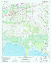
1958 Map of Grand Bay
USGS Topo · Published 1986About this map
The coastal lowlands of Mobile County meet the Gulf waters in this detailed landscape, dominated by the sprawling Grand Bay Swamp and the intricate drainage of Grand Bay. The Seaboard railroad corridor anchors the northern inland settlements, passing through the town of Grand Bay and the smaller community of Fernland. For genealogists and local historians, the Grand Bay Cemetery and nearby St Elmo Landing Field provide specific points of interest within this rural and maritime setting.
Find a feature on this map
31 named features on this map. Tap any name to fly to it.
Don’t see what you’re looking for? This feature index may not catch every label — zoom into the map to look around manually.
Map Details
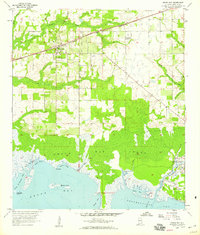
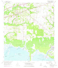
Editions of this 1958 Grand Bay Map
3 editions found
Other maps of this area

1921 · Grand Bay
USGS Topo · 1:62,500

1921 · Delchamps
USGS Topo · 1:62,500

1922 · Mobile
USGS Topo · 1:62,500

1940 · Mobile
USGS Topo · 1:62,500

1941 · Cedar Point
USGS Topo · 1:62,500

1941 · Hurley
USGS Topo · 1:62,500

1942 · Theodore
USGS Topo · 1:31,680

1943 · Cedar Point
USGS Topo · 1:62,500

1943 · Theodore
USGS Topo · 1:31,680

1943 · Grand Bay
USGS Topo · 1:62,500