
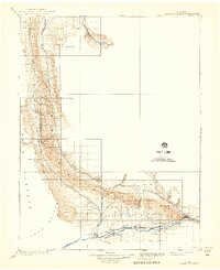
1910 Map of Grand Hogback
USGS Topo · Published 1910About this map
The striking geological formation of the Grand Hogback dominates this 1906 survey, creating a sharp natural divider between the river valleys of the western slope. Settlement is concentrated along the southern corridor where the Denver and Rio Grande railroad tracks follow the Grand River, connecting towns like Rifle and Newcastle. The map reveals the early transportation network of Garfield and Rio Blanco counties, including isolated outposts like Dinner Sta and the community of Rio Blanco.
Find a feature on this map
28 named features on this map. Tap any name to fly to it.
Don’t see what you’re looking for? This feature index may not catch every label — zoom into the map to look around manually.
Map Details
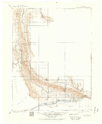
Editions of this 1910 Grand Hogback Map
3 editions found
Other maps of this area

1906 · Grand Hogback
USGS Topo · 1:125,000

1907 · White River
USGS Topo · 1:125,000

1910 · Danforth Hills
USGS Topo · 1:125,000

1910 · White River
USGS Topo · 1:125,000

1912 · Meeker
USGS Topo · 1:62,500

1914 · Meeker
USGS Topo · 1:62,500

1925 · Parachute Creek
USGS Topo · 1:62,500

1927 · Parachute Creek
USGS Topo · 1:62,500

1927 · Glenwood Springs
USGS Topo · 1:125,000

1929 · Grand Valley
USGS Topo · 1:62,500