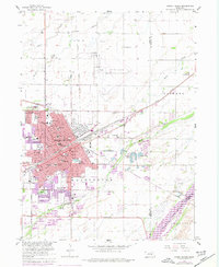
1962 Map of Grand Island
USGS Topo · Published 1977About this map
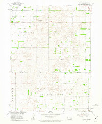
The Union Pacific and Burlington Northern railroads converge in Grand Island, anchoring this Nebraska hub during its mid-century expansion. The map reflects a period of significant growth, with purple revisions from 1974 showing the urban footprint pushing into areas like Parkview and toward the Grand Island Municipal Airport. Civic and social infrastructure is densely mapped, featuring numerous educational and medical institutions such as the Soldiers and Sailors Home, VA Hosp, and St Francis Hospital.
Find a feature on this map
47 named features on this map. Tap any name to fly to it.
Don’t see what you’re looking for? This feature index may not catch every label — zoom into the map to look around manually.
Map Details
Editions of this 1962 Grand Island Map
4 editions found
Other maps of this area

1892 · Grand Island
USGS Topo · 1:62,500

1895 · Grand Island
USGS Topo · 1:62,500

1898 · Grand Island
USGS Topo · 1:125,000

1899 · St. Paul
USGS Topo · 1:125,000

1955 · Broken Bow
USGS Topo · 1:250,000

1955 · Grand Island
USGS Topo · 1:250,000

1956 · Broken Bow
USGS Topo · 1:250,000

1957 · Grand Island
USGS Topo · 1:250,000

1958 · Grand Island
USGS Topo · 1:250,000
1961 · St. Paul SW
USGS Topo · 1:24,000
Featured Places
- Grand Island, NE
- Kuesters Lake, NE
- Parkview, Grand Island
- Pioneer Estates, Grand Island
- Kingwood Estates, Grand Island