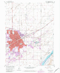
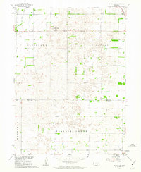
1962 Map of Grand Island
USGS Topo · Published 1984About this map
Grand Island sits at a critical junction of Nebraska transport and institutions during the early 1960s, defined by the robust rail lines of the Union Pacific and Burlington Northern. The city's social fabric is visible through an extensive network of schools and healthcare facilities, including Central High Sch, St Francis Hospital, and the large VA Hosp complex. The northern edge of the settlement is marked by the sprawling Soldiers and Sailors Home, while the southern reaches follow the gradual curves of the Wood River toward the braided channels of the Platte River.
Find a feature on this map
59 named features on this map. Tap any name to fly to it.
Don’t see what you’re looking for? This feature index may not catch every label — zoom into the map to look around manually.
Map Details
Editions of this 1962 Grand Island Map
4 editions found
Other maps of this area

1892 · Grand Island
USGS Topo · 1:62,500

1895 · Grand Island
USGS Topo · 1:62,500

1898 · Grand Island
USGS Topo · 1:125,000

1899 · St. Paul
USGS Topo · 1:125,000

1955 · Broken Bow
USGS Topo · 1:250,000

1955 · Grand Island
USGS Topo · 1:250,000

1956 · Broken Bow
USGS Topo · 1:250,000

1957 · Grand Island
USGS Topo · 1:250,000

1958 · Grand Island
USGS Topo · 1:250,000
1961 · St. Paul SW
USGS Topo · 1:24,000
Featured Places
- Grand Island, NE
- Kuesters Lake, NE
- Parkview, Grand Island
- Pioneer Estates, Grand Island
- Kingwood Estates, Grand Island